Temperatures to drop islandwide until Saturday as cold air blows in
Temperatures to drop islandwide until Saturday as cold air blows in
2026-11-18
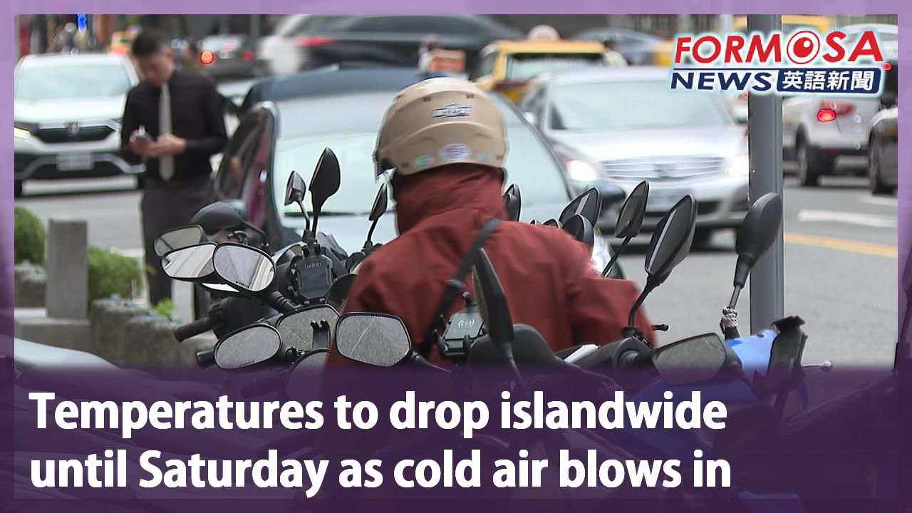
It’s about to get chilly in Taiwan. Northeasterly winds are set to send temperatures plummeting on Thursday and Friday, with lows of 14°C and 15°C expected in the northern half of the island. And the cold spell won’t end there. Saturday could see lows of just 12°C. So if you’re planning to head out this weekend wrap up warm and bring an umbrella. Let’s hear from a forecaster.
Hsieh Pei-yun
CWA forecaster
The cold front will be most intense from Friday to Saturday. We think it may reach the strength of a continental cold air mass. Temperatures everywhere will be on the lower end on Friday and Saturday. Lows could hit 14°C or 15°C in the northern half of the island and Yilan. In southern Taiwan, Hualien and Taitung, temps may sink to 16°C. Starting Thursday, cloud cover will increase nationwide, with brief downpours in the north and east, as well as in mountainous areas in central and southern Taiwan. By Friday, northeasterly winds will blow in less moisture. But altostratus clouds near Taiwan will still bring some brief localized showers in mountainous areas and in the eastern half of the island.
The cold air front will bring in cool days from Thursday to Sunday, with temperatures dipping below 15°C. The rainy weather and clouds will ease off by Friday, but that will only let temperatures plummet further, due to radiative cooling. The mercury will only start climbing back up starting next Monday. Forecasters say this cold spell may actually bring snow to Taiwan, at mountain peaks of 3,500m and higher.
For more Taiwan news, tune in:
Mon to Fri at 9:30 pm on Channel 152
Tue to Sat at 1 am on Channel 53
#weather #snow #cold #taiwan #chilly
冷空氣今起南下! 強度逼"大陸冷氣團" 高山有望迎初雪
2026-11-18
最強冷空氣要來了,全台即將要變天了!週三下午東北季風南下,週四、週五氣溫一路溜滑梯,中部以北、宜蘭清晨下探14到15度,預計周六是最冷,低溫只剩12度,除了溫度驟降之外,出門添衣保暖,雨傘也別忘了帶!
[[氣象署氣象預報中心技正 謝佩芸]]
“在禮拜五到禮拜六將會是冷空氣影響最明顯的時間,我們預估有機會接近到大陸冷氣團的等級,20號到21號清晨這段時間,各地氣溫會比較明顯偏低,中部以北、宜蘭地區,低溫只有14到15度左右,南部以及花東低溫也只有16度。明天(11/19)隨著各地雲量增加,除了北部,東半部有短暫雨之外,中南部的山區也會有些短暫雨狀況出現,到了禮拜五(11/20),整體來說東北季風帶來的水氣是比較減少,可是還是有比較中高層雲系在台灣附近,所以在禮拜五這天,在山區的部分,以及東半部部分地區,還是會有一些局部性短暫雨出現”
這波冷空氣將從週四持續影響到週日,強度接近冷氣團,週五開始水氣逐漸減少、雲量也會跟著下降,夜間地表散熱加快,輻射冷卻效應增強,清晨氣溫因此會更加低迷,預計下週一才會逐漸回暖。氣象署表示,氣溫和水氣條件配合,週四晚間到週五,部分3500公尺以上高山有機會出現零星降雪。
更多新聞內容,請鎖定:
民視台灣台(152頻道)週一至週五晚上9:30
民視新聞台(53頻道)週二至週六凌晨1:00
Related News