Constant lows making for second coldest winter on record
Constant lows making for second coldest winter on record
2025-02-25
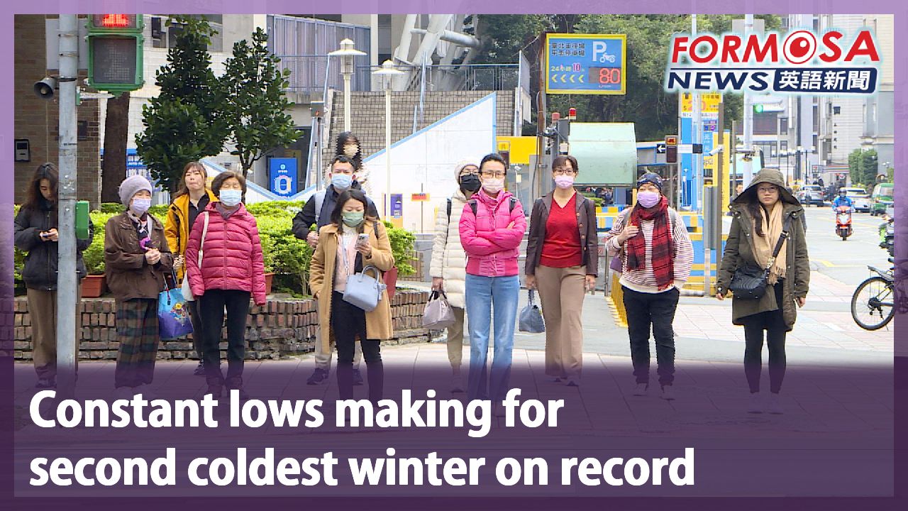
This winter has been a harsh one for Taiwan. Temperatures averaged 0.84°C lower than historic figures, making for the second coldest winter on record. Forecasters say that the coming spring season will likely be within average values, and perhaps slightly drier than usual.
Chen Yi-liang
Central Weather Administration
The meteorological station in Taipei recorded a low below 14 degrees. That means we have had 39 days with continental cold air mass events.
The average temperature so far this winter stands at 17.84°C. That’s 0.84°C lower than the average value of 18.68°C. It is the second coldest winter on record, beaten only by winter 2011.
Chen Yi-liang
Central Weather Administration
This spring, the La Niña effect is expected to continue weakening and return to normal after the end of spring. The temperature forecast is within normal values. In May we may see normal to warmer-than-usual weather.
From March to May, forecasters are expecting precipitation to be average or slightly below average, though things may change with the plum rain season in May. Closer to the present, this week is set to have pleasant weather.
Wu Wan-hua
Central Weather Administration
Northeasterly winds are no longer affecting our weather. From Thursday and Friday, Taiwan will be on the southwest border of a high pressure zone, which will usher in warm air from the south.
With cold air receding, the 228 Peace Memorial long weekend is set to be warm islandwide.
Wu Wan-hua
Central Weather Administration
Over the 228 Peace Memorial break, it’ll be cloudy and sunny skies islandwide. The only places that may see some sparse brief showers are Hualien, Taitung, and the Hengchun Peninsula.
A warm respite will come just in time for the long weekend. But it won’t last long. Starting Monday night, rainy weather will return to the northern half of the island, accompanied by lower temperatures.
For more Taiwan news, tune in:
Sun to Fri at 9:30 pm on Channel 152
Tue to Sat at 1 am on Channel 53
今年冬天最冷"僅次於2011年" 春季降雨估"正常偏少"
2025-02-25
今年冬天,冷空氣一波波的來,氣象署統計冬天平均溫度是17.84度,低於氣候值0.84度,是僅次於2011年的最冷冬天。而展望春季,反聖嬰現象預期將持續減弱,氣溫方面正常,雨量上則是正常偏少。
[[氣象署預報中心主任 陳怡良]]
“今年的台北站低於14度,也就是大陸冷氣團強度的天數有39天,這也是過去九年來最多的年分。”
今年冬天平均17.84度,低於氣候值的18.68度還低0.84,是僅次於2011年的最冷冬天。
[[氣象署預報中心主任 陳怡良]]
“今年春季展望,反聖嬰的現象預期會持續減弱,一直到春季以後會回復到正常狀態,而在氣溫的預測是以正常為主,但是五月份有正常到偏暖的訊號。”
展望接下來三到五月,雨量正常到偏少,但五月開始梅雨季,還可能會有變數。不過短期來說,可以先把握這一週的好天氣。
[[氣象署簡任技正 伍婉華]]
“台灣附近已經沒有北風來影響我們的天氣了。星期四、星期五開始,台灣附近開始在高壓西南緣,開始有南來的暖空氣影響我們的天氣。”
冷氣團減弱了,尤其228連假三天,各地都很暖和。
[[氣象署簡任技正 伍婉華]]
“228假期大部分天氣是多雲到晴,可以看到陽光的,只有在花東地區、恆春半島,有一些零星短暫陣雨的天氣。”
連假結束又要變天,下週一晚上鋒面接近,中部以北轉雨外,氣溫也會再降低。
更多新聞內容,請鎖定:
民視台灣台(152頻道)週日至週五晚上9:30
民視新聞台(53頻道)週二至週六凌晨1:00
Related News