Nearly every city and county in Taiwan hit with heavy rains
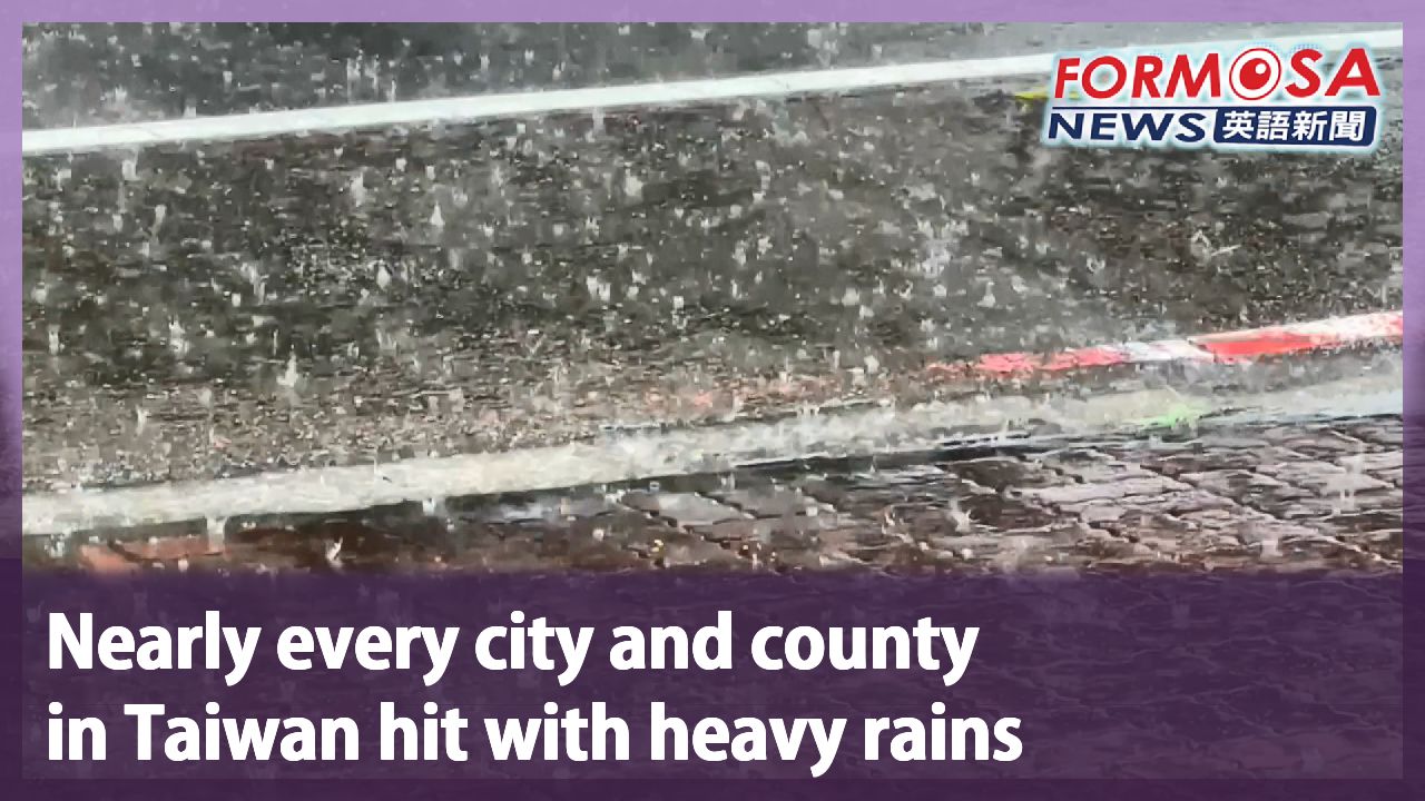
Nearly every city and county in Taiwan hit with heavy rains
2026-08-21
Get the rain boots ready and have an umbrella on hand, because the moisture-laden southwesterly winds and low-pressure system are going to keep drenching Taiwan until next Tuesday. And don’t expect the sun to come back any time soon, because next week Typhoon Saudel is expected to keep growing in strength as it gets closer to Taiwan.
The rain’s really coming down in New Taipei, so much so that water is now gushing up onto the roads, turning Xindian’s streets into canals.
Sanxia Old Street is dealing with flooding, too. There’s no sewer in front of this temple that houses Mazu, which is why the pouring rains have left the temple submerged in water.
Down south, Kaohsiung is dealing with strong winds and heavy rains. But outside Vieshow Cinemas there’s still a long line of people putting up with the bad weather just to watch “Chiikawa the Movie: The Secret of the Mermaid Island.”
The rain won’t even let up for Taiwan’s newly crowned richest person: Lin Tsung-chi. The street outside Lin’s factory is more like a waterway than a roadway.
- Has the water flooded in?
- It hasn’t. It hasn’t gotten into the factory.
- Of course I worry, because the water keeps rising higher.
This bridge in Tainan’s Rende District is dealing with 50cm of floodwater. In order to prevent a dangerous situation, traffic was re-routed. And in Pingtung the rains there are also playing rough; cars that brave the flooded roads are leaving wakes of water behind them.
Yeh Chih-chun
Meteorologist
Due to the strong southwesterly winds and the low-pressure system, up until Monday the weather will remain relatively unstable. Then, on Tuesday and Wednesday, we can see there’ll likely be a brief break in the weather, mainly because the low-pressure system will move westward as it gets farther away from Taiwan.
And here’s more bad news: Typhoon Saudel seems to be evolving into a severe typhoon.
Yeh Chih-chun
Meteorologist
The conditions of the ocean and atmosphere around the typhoon are quite favorable, so the typhoon is expected to steadily strengthen over the next few days. Based on the current data, it’s expected to continue moving steadily toward the northwest. Experts are anticipating that, by Wednesday, it’ll reach the waters near the Ryukyu Islands.
As it grows in strength, Typhoon Saudel is expected to bring strong winds and heavy rains, which is why weather watchers will be paying close attention to whether or not the tropical storm will hit Taiwan directly.
#wet #waterworld #flooding #typhoon #Saudel #soaked #rainraingoaway
For more Taiwan news, tune in:
Mon to Fri at 9:30 pm on Channel 152
Tue to Sat at 1 am on Channel 53
豪雨襲台 全台16縣市發布豪、大雨特報
2026-08-21
受到西南風及低壓帶影響,週五中央氣象署針對全台16縣市發布大雨特報,下午包括高雄、台南、台北、新北都傳出淹水災情。而大雨要一路到下週二才會減緩,目前還有颱風"沙德爾",有增強為強烈颱風的趨勢,預計下週三會到琉球附近,由於路徑不確定性大,會不會直接影響台灣,還得再觀察。
下午雨彈開炸,新北市的新店路面湧現滾滾噴泉,水不斷湧出,馬路變成水路。
大雨下不停,三峽老街也淹水了,因為媽祖廟前沒有排水溝,只靠對側排水,瞬間暴雨就會淹起來。
鏡頭轉到高雄,即使強風豪雨,影城外仍出現大批人龍,原來他們是為了知名動漫"吉伊卡哇"周邊而來。
瞬間的強陣雨,也讓台灣新首富川湖科技的工廠,廠外道路也淹成小河。
-有沒有被淹上來過?
-沒有進來,沒有進來廠裡面
-當然會擔心啊,因為(淹水)越來越高了啊
而在台南,仁德潭稅橋出現50公分高的淹水狀況,交通還一度管制,避免發生危險。在屏東,雨勢也十分強勁,路面積水,汽車駛過、濺起大片水花。
[[氣象預報員 葉致均]]
“在下週一以前都是受這個強西南風以及低壓帶的影響,所以整個天氣上,都會是比較偏不穩定的一個狀況。那到了下週二以及下週三的時候,我們可以看到,就會看起來是一個短暫的空檔,主要就是因為這個低壓帶一個位置上面,是往這個西的方向去做遠離。”
另外,颱風"沙德爾",有增強為強烈颱風的趨勢。
[[氣象預報員 葉致均]]
“(颱風)所處的這個海洋跟大氣的條件都算是相當不錯,所以預計在這個颱風的話,在未來這一段期間來講的話,是會有穩定增強的一個趨勢。那就以目前的一個資料上面來看的話,它會是穩定的是往西北的方向去移動,那預計像是在下週三的時候,可能就會來到琉球附近的一個海面上。”
沙德爾颱風持續長大,預估外圍環流會帶來強風豪雨,至於會不會直接影響台灣,還得密切觀察。
更多新聞內容,請鎖定:
民視台灣台(152頻道)週一至週五晚上9:30
民視新聞台(53頻道)週二至週六凌晨1:00
Related News